Saturday, July 15, 2006

Day 12, Datil, NM, to Seligman, AZ

July 14, 2006
(Click on photos to see full size)


After a great night's sleep, I broke camp, paid the $5 fee on the way out, and went in search of a cup of coffee. About 20 miles up the road I reached Pietown, perched on the Continental Divide and boasting great pies. I stopped for coffee and breakfast and a little local color.
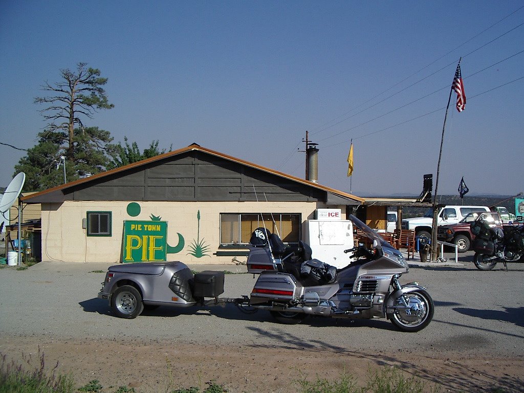
Pietown... "It's all downhill from here."

After breakfast, I was ready for the long ride into Arizona, leaving New Mexico and its charm behind. I crossed many state lines on this trip, but mostly on busy highways that provided no place to stop and document the transition. This photo taken on a quiet road on the NM/AZ border at about 7400 ft. will have to represent all of the border crossings.


Not far into Arizona is the town of Show Low, named for the way one of the original landowners/founders won the other's half. It seems that after hours of playing poker, one said that the low card would win. The partner drew the deuce of clubs and won all the property. This "monument" is on Deuce-of-Clubs Street, which is the main street through Show Low.


The weather in AZ was becoming extremely hot, and my new crown helmet was worse instead of better, letting the sun hit my face and start to burn. I stopped in Payson and went into a McDonald's to make myself a coffee float to cool down and was assaulted by the noise of screaming kids playing on the INDOOR playground equipment. I couldn't stand it long enough to really cool down, so was soon on my way to Sedona, which I remembered as a very beautiful spot, worthy of spending another night.
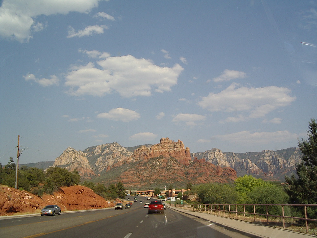

The red mountains of Sedona.


Though the pictures fail to show it, Sedona was over-crowded with tourists and tourist shops and I felt no desire to remain for longer than it took to drive through it. The town was over-flowing, the campgrounds were overflowing, and the beautiful road north to Flagstaff was bumper-to-bumper traffic, making pulling over and stopping impossible. I decided to keep rolling until dusk so I could make it home on Saturday instead of Sunday.

At Flagstaff I joined Historic Route 66, and started the final trek west. The heat of the day and traffic from Sedona had taken its toll, however, and I didn't make it to dusk. I did make it as far as Seligman, though, and pulled into the Stagecoach 66 Motel to crash for the night. It was a quaint place and not as bad as I thought it might be, being "historic" and all.
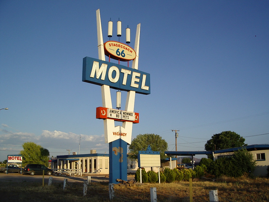

After the sun went down, I walked down the road about a mile for a beer and a few games of 8-ball with the local folk at the Black Cat bar. It's what you do on a Friday night in the middle of nowhere.

427 miles for the day, 3734 since Boston

Day 13, Seligman, AZ to Bakersfield, CA

July 15, 2006
(Click on photos to see full size)

Today was the day for Route 66. My plan was to stay on the historic highway as much as possible. This proved to be a bigger challenge than I expected.

After getting loaded up and started, I spent about an hour in the small town of Seligman browsing the 50s era tourist shops and also picking up my day's supply of Gatorade. I struck out expecting an interesting trip into the past, but it was a bit disappointing. I wasted a bit more time at the Grand Canyon Caverns near Peach Springs, but mostly enjoyed the straight and lonely road between Seligman and Kingman. It was getting hot so I debated getting on I-40 at Kingman, but resisted the temptation.


Just before crossing the mountains.


Route 66 between Kingman and Oatman was the best stretch of road encountered the whole day. It was full of serious twisties, climbs and descents. I wasn't counting the turns, but I'm sure it rivals the famous Tail of the Dragon near the Smoky Mountains. The one car in front of me when entering this section quickly got out of my way, so my progress was unimpeded all the way into Oatman.


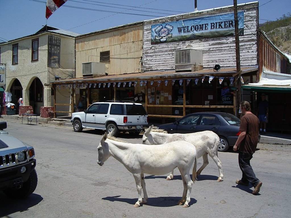
The small town of Oatman was a complete surprise to me. It had the face of an old west town and was a complete tourist trap. I was exhausted by the mountain road so I stopped to try to cool off. I found the only restaurant that had air conditioning and went in for ice cream. As I sat down a young man and his wife were getting up to leave and the waitress said, "Oh, you're from out of town!" The surprised young man said, "Oh, how did you know?" The waitress laughed and said, "Everybody's from out of town, absolutely nobody actually lives here."


Supposed descendents of prospectors' jackasses are allowed to roam the streets freely, providing tourists the enjoyment of cleaning donkey dung from their shoes.


A cheesy "Old West" show

Leaving Oatman, still hot, I continued down the mountain to Golden Shores, a small desert town with a "wannabe" name. I stopped to photograph the Route 66 logo in the road, and the big Wing decided she needed a rest and laid herself down after I got off. A close look at the full size picture and you can see her listing about 40 degrees.


When I reached Needles, I had completely soaked thrugh my shirt so I stopped to cool off at a gas station. It was 120 degrees in the shade. I considered stopping for the day, but Sunday was forecast to be the same. I bravely set out for Amboy and Bagdad, out in the middle of nowhere.

The next shady spot I found was in Amboy, which has a long-closed motel and gas station. It's now owned by a couple of guys who rent it out to movie producers occasionally. I guess it's a good deserted desert location. One of the guys, Larry, was hanging out at the old gas station, selling water and t-shirts to over-heated passers-by. He is a great guy, not trying to rip anybody off. He also has a drum full of emergency gasoline he sells for just what he paid for it. I didn't need any water, but I bought a t-shirt from him after chatting for about 45 minutes. The temperature in his shady area was 119.

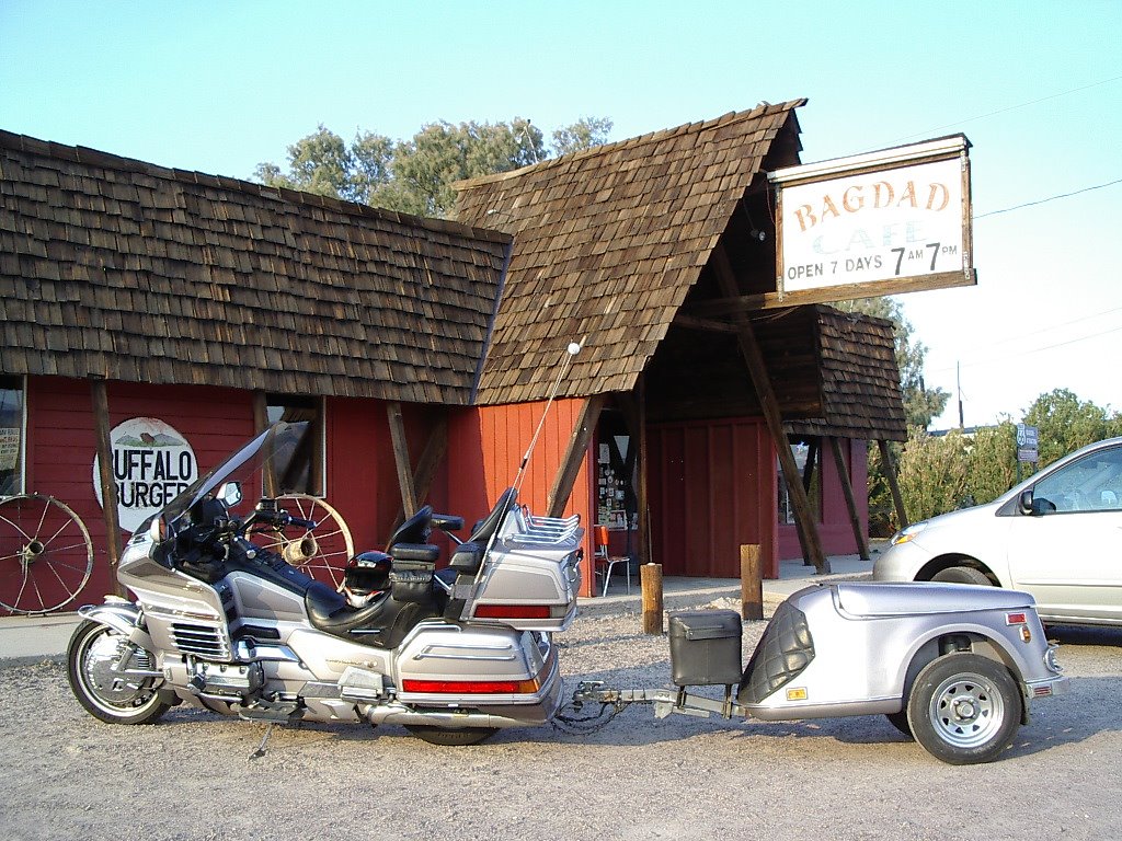
Near the end of the remnants of the original Route 66 is the Bagdad Cafe, the site of a well-known movie and my last tourist stop on this trip. After a great malt and chat with the proprietress, I got back on the bike and headed for home. It was still 119.


As I rolled past the familiar Mojave Spaceport, it was beginning to get dark. It had been a very long and hot day, but I was too close to home to stop. I don't enjoy riding at night very much, but the thought of my own bed kept me going.

I rolled into my own garage just before 10pm, 14 days almost to the minute after my plane took off for Boston and the beginning of my odyssey. Today I rode 440 miles. 4174 miles of great riding since Boston!
Day(s) 14 - Long Break

July 16 - September 2

This is a long break in the coast-to-coast trip. The right opportunity to continue to the coast didn't present itself until Labor Day weekend. This break did provide a chance to spend more money on eBay for some new accessories for the new Wing, and to sell off Old Gold, which provided me several years of great road riding.


Old Gold - now Sold Gold

Day 15 - ... to Shining Sea

September 3, 2006

(Click on photos to see them full size)

I finally found the right opportunity to finish this great trip. I thought I might do a day-trip to Santa Barbara and back, but somehow it just didn't seem like the right way to do the last legs of an epic journey. I hunted around for camping sites near the coast on the internet, and finally got lucky with the last spot available at Fremont Peak State Park between Salinas and Hollister. It turned out to be one of the nicest tentsites in the state.

I spent Saturday prepping for the trip to Monterey Bay. I decided that I went all the way to the East Coast to get a trailer, so I might as well use it, even for a 2-day trip. So I rounded up the camping gear and added a few items I didn't have for the first 4200 miles and loaded it up. I re-installed the dork gear, such as GPS, XM satellite radio, and digital thermometer. Put 10 new CDs in the changer and began to think that I just might be over-doing this whole touring-bike thing.


Now where'd I misplace the kitchen sink?

So, Sunday morning I was ready to roll. Saddled up, stopped by the office to pick up my camping chair and hit the road. My plan was to go up through Carmel Valley and come back on the Pacific Coast Highway. Highway 198 between I-5 and 101 was as nice as I remembered it, except now the scenery was all brown, not the beautiful green that Dwight and I enjoyed on our ride back from Fremont. The mountain road between 101 and Carmel Valley was much rougher than I remembered it, and though the scenery was great, the road beat up on the equipment and my shoulders more than I liked. I will stay off this road for a while.

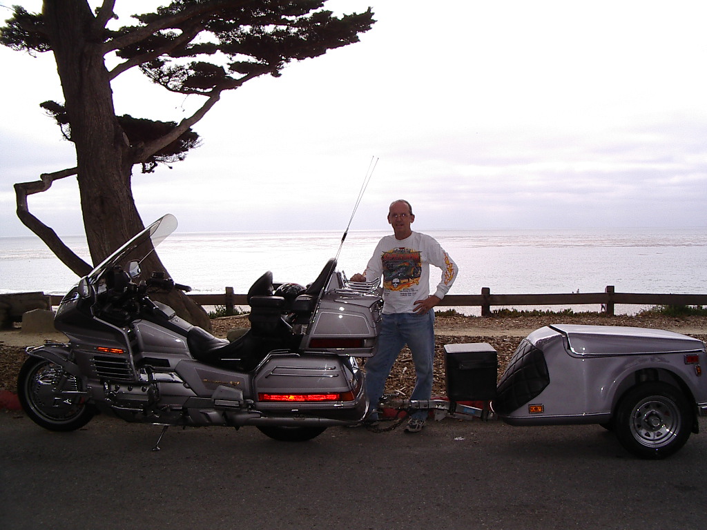
Traffic into Carmel town was awful, but I eventually made it to the beach and the Pacific Ocean. Total distance on my route from the Atlantic at Cape Cod to the Pacific at Carmel was 4307 miles, most of them terrific.


From sea to not-so-shining sea.

I got to the beach around 4:00, but the daily fog/overcast that usually disappears by noon was still hanging around. It took the "shine" away from the sea and made the pictures less than beautiful, but Carmel Beach is still one of the best in the country.


You have to imagine the sunshine.

I wanted to get to my campsite with plenty of daylight to spare, so I skirted Monterey and went directly to Salinas and San Juan Bautista to start up the mountain. The last 11 miles to the park was full of twisties (good), but not in a good state of repair (bad). The last 3 miles had a climb of 1000 feet. A fun road, but a lot of hard work to finish up the day's ride.


My tentsite was by far the best in the park, and a great place to watch the sun set. In fact, about half the people in the park came over to my site to watch the sun go down. It was a very friendly group of people and the girls in the neighboring site invited me over for drinks during "cocktail hour."


Today's ride was 309 miles, and 4483 since the start of the ride.

Day 16 - The Final Leg

September 4, 2006

(Click on pictures to see them full size)


I woke up with the sun this morning, and the valley was still covered with fog. Here on the mountaintop it was bright and warm, however, and promised a great day of riding to finish my trip. I broke camp and was ready to roll by 8:30, chatted a bit with other campers, and headed down the mountain and back into the grey overcast. It was 80 degrees at the top.


The morning fog from my tentsite.


On the road down the mountain.


Just before descending into the fog.

I rode the 50 or so miles into Monterey and went to Cannery Row for breakfast. When I went to school here many years ago, Cannery Row was still operational and much as John Steinbeck wrote about it. Now it is just a bunch of tourist shops and home of the great Monterey Aquarium. I walked around a bit and took a couple pictures, but it was a cold 58 degrees.


Monterey Bay - Every bit as cold as it looks.

I tried to visit my old school, but it has been closed to the public since 9/11. I walked by the old bar downtown where I celebrated my 21st birthday and was happy to see it was still there.


The bar formerly known as My Attic.

Thinking about all the traffic that would be on the Pacific Coast Highway today, and the lack of sunlight all along the coast, I decided I'd had enough touring and to just go home by the fastest and shortest route. I came out from under the overcast around Salinas and welcomed the sunshine, at least until it started to get really hot. By the time I got to Lost Hills the temperature was 102 degrees, still cooler than my trek across the Mojave desert on Day 13, but quite hot.

From a low of 58 to a high of 102. The Hawaii Weather Wimps I often ride with don't see this kind of temperture spread in an entire year, but this was less than 5 hours. I started out with just a long-sleeve t-shirt, then added my Kevlar jacket, then inserted its liner and put on the winter gloves. Leaving the bay area, out came the liner and on with the summer gloves. Moving further south, off came the Kevlar jacket. Soon I got out my latest acquisition from the ice chest, a cooling wet-vest I learned about from a local Iron-Butt Association rider. It worked great and I was sorry I didn't have it for the trek across the Mojave.

When I got home, it was still 98 degrees, and I'd ridden 283 miles this day. From the start of the trip in my daughter's driveway to my garage was a total of 4766 miles.

I can't wait to start the next big trip.


Home at last--for now.

Oh by the way... Aloha!

(Click on photos to see them full size)

No good bike ride should ever end. But once you've reached the western limits of the continental United States, what can you do?

Keep going west.

After weeks and weeks of trying to negotiate some time off from work, finally the boss came to me at the end of the day and said, "You can take your vacation, but you have to be back early and start tomorrow morning." I'd been tracking my options on www.farecast.com for weeks so had some idea of what was possible on short notice. My only option with this kind of notice was to keep going west. I called the Hawaii Weather Wimps and started packing.

In searching for parking options at LAX, I discovered that motorcycles park in the terminal lots for free, a fairly common practice I should've known before. The winter weather seemed cooperative so I strapped my big bag onto the back of the Wing-a-bago and headed south. I parked a few steps from the terminal and got on the plane for Honolulu.

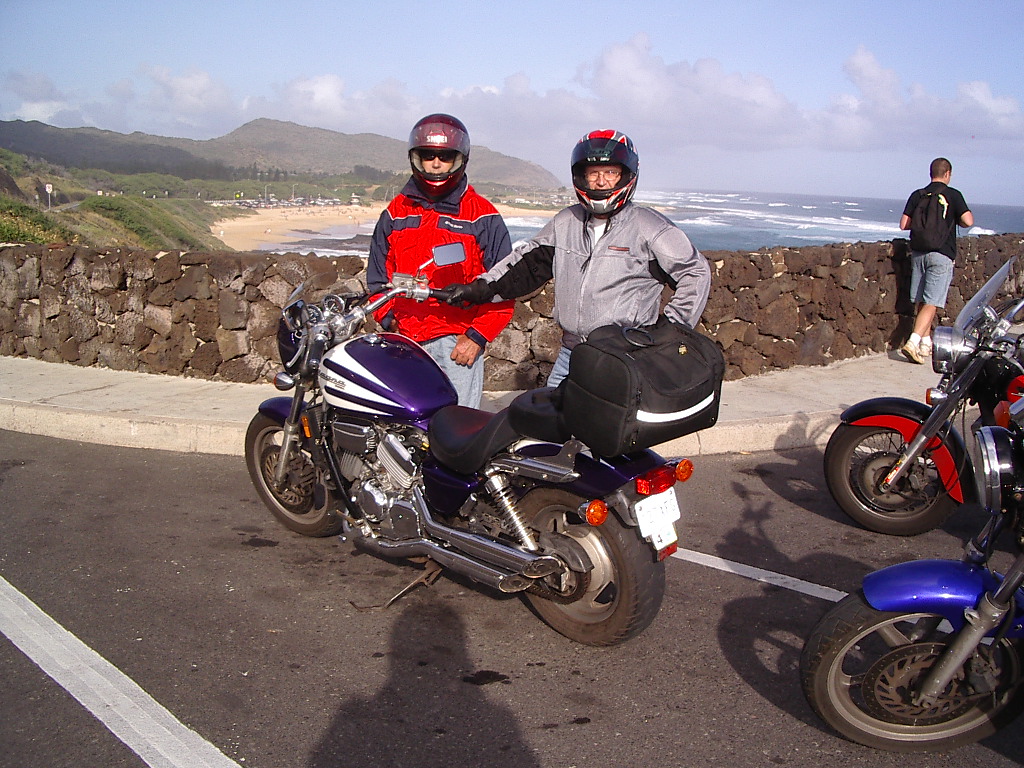
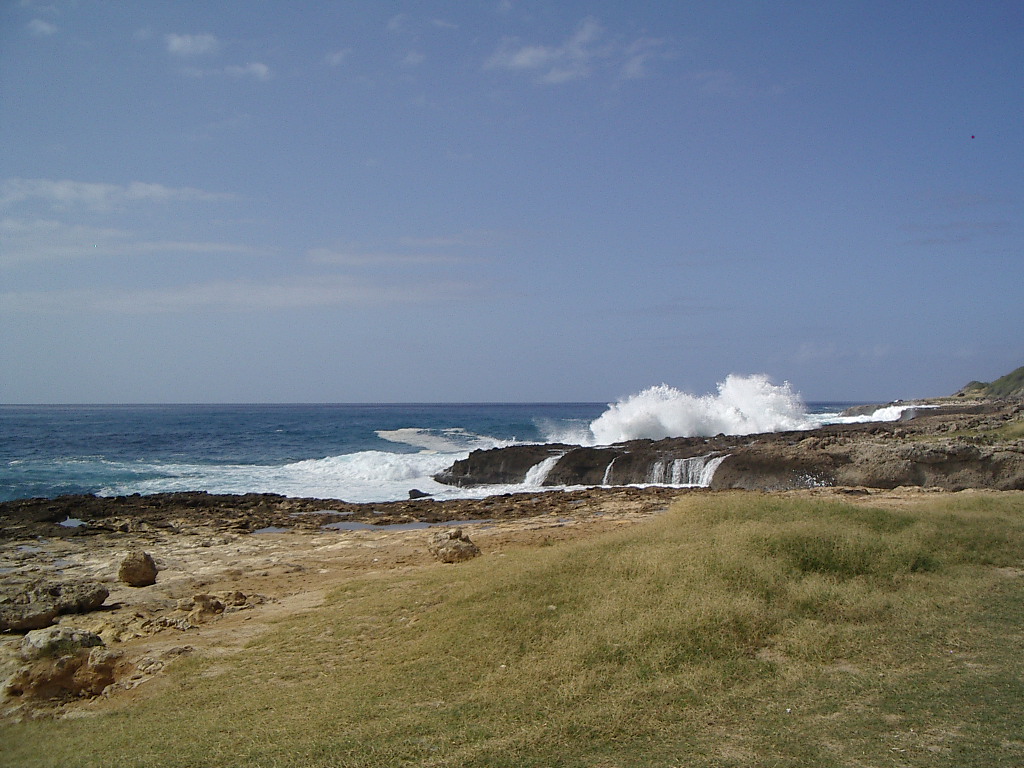
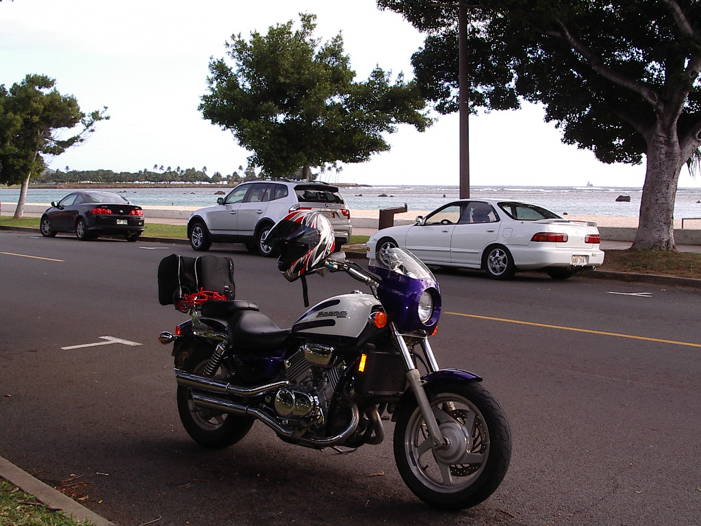
My good friend in Hawaii has a spare bike--a Magna. When he comes here he always rides my "spare" Magna, and he was kind enough to give me the key to his "spare" in Honolulu. He had organized a group ride for my first morning there. This was the morning of the Honolulu Marathon so about 20,000 runners and walkers occupied East Oahu. So we headed for Yokohama Bay, as far west as you can go on Oahu--the end of the road.


At Yokohama Bay with 2 old friends and 2 new ones.


Winter surf crashing on the rocks.

The next day all those not on vacation had to go to work, so I rode by myself. I hadn't been in Hawaii for about 4 and a half years and it was fun to explore some of the old haunts.

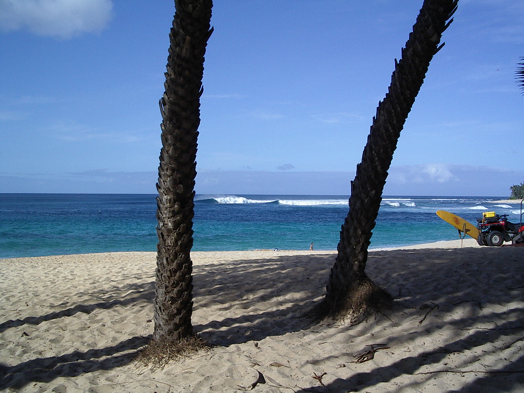
I went up over the Pali Highway, past the hospital where my first daughter was born and into Kailua. Had lunch at L&L Drive-in, drove past the townhouse where we lived when the new baby was born, and proceeded up the coast. Past Kualoa Ranch where years ago I broke a couple teeth on a rock mountain-biking. On into Laie where that same year I bonked doing a metric century bicycle ride, which I somehow managed to finish. I looked the other way as I passed the tempting shrimp vans near Kahuku (L&L provides sufficient cholesterol) and finally dismounted at Sunset Beach. The winter surf was not as high as it can be, but there was some kind of surfing competition going on anyway.


Sunset Beach on Oahu's North Shore

A little further down the road, I stopped to photograph a popular surfing spot.


Waimea Bay

I decided to leave further touring for another day and headed back to Honolulu, but not soon enough to beat the ridiculous traffic as I neared the city.


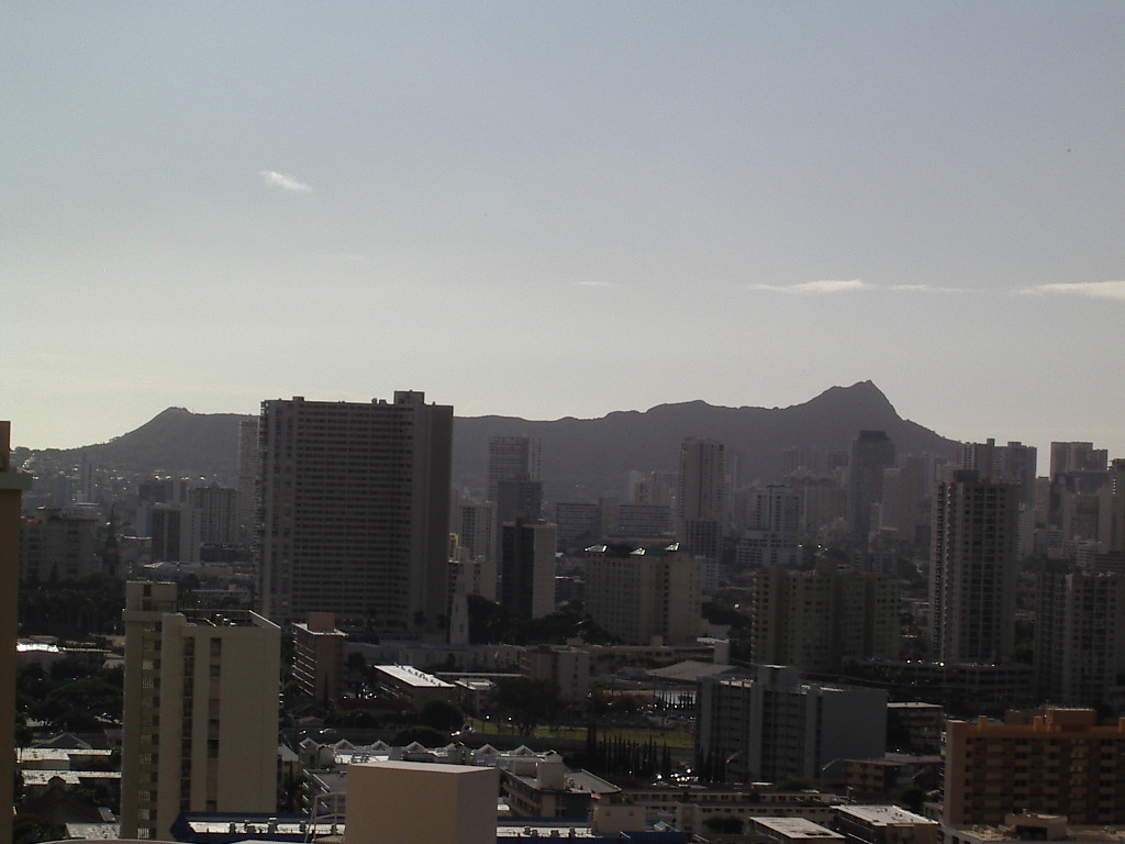
The view of Diamond Head from my friend's balcony.

Through my short week in Hawaii I rode a lot every day, spending lots and lots of time sitting in traffic, even when the population was supposed to be at work.


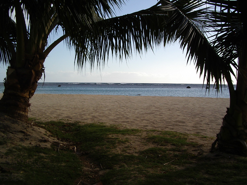
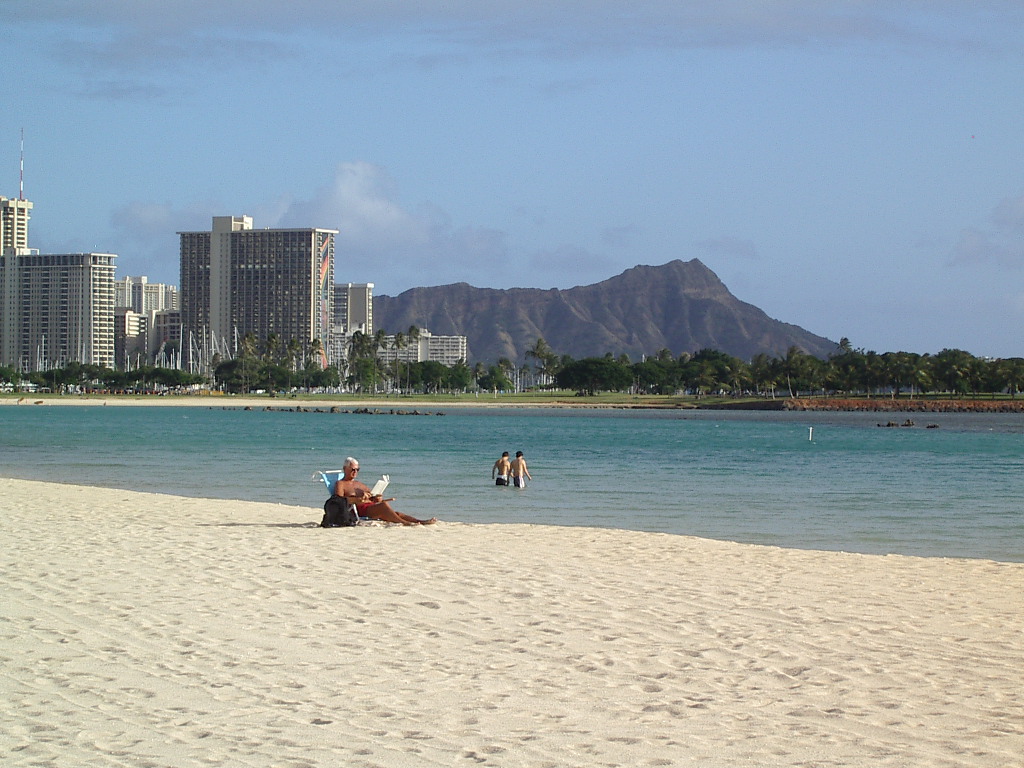
Ala Moana Beach -- nearly deserted midweek


Looking across Ala Moana and Magic Island at Diamond Head.


My vacation ride at Ala Moana Park

My last couple days in Hawaii were "cold" and a bit rainy, but we enjoyed a short group ride anyway on Saturday and luckily bumped into a favorite old friend at Lanikai. On the way there we stopped for a photo op.


Weather Wimps (or space men) in front of Sandy Beach

My last day started out with beautiful weather. Accompanied by a couple of "biker babes", we did an ambitious ride, around East Oahu, H-3 to Pearl City, Kunia Road to Mokuleia. After lunch in Haleiwa we still had lots of energy so decided to come back along the North Shore, past Kailua to Queen's Beach, then into Hawaii Kai, completing the circle tour. We rode about 150 miles, but all the traffic made the 150 seem more like 300. We were all exhausted, so I was well prepared for the redeye back to California. I fell asleep before take-off.

I woke up when the pilot announced, "Flight attendants, prepare the cabin for landing." It seemed like a 10-minute flight. Walked back across the street and loaded up the Wing.

It was a clear and sunny day for my ride back over the mountains, but it was also cold. I stopped outside the airport for a cup of coffee and to add some clothing layers for the ride home. It was 7am and 50 degrees.

As I climbed the mountains on I-5 I watched the temperature slowly go down. For about 20 miles at the top of the mountains it was 33 degrees, the coldest riding I've ever done. I could have used some heated grips or gloves, but as I wound down the mountains on the other side, it warmed up again to about 45. A nice December day in California. Back at (shudder) work by noon.

It was a great week, with even less planning than when the big trip started on the East Coast. It was about 900 miles of great riding, but the best part was seeing lots of old friends. I should go back more often.

So NOW is my cross-country trip finished? Hard to say...

To be continued...